Maps Site map
  Maps > Australia > Complete Maps
Site Map  

  Record   11   to   20  of   40

Historic and contemporary maps of Australia, including physical and political maps, climate maps, relief maps, and economic/resource maps.
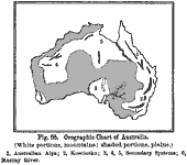
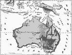
Orographic Chart of Australia, 1891
A black and white map showing the various orographic systems in Australia, including the prominent mountain systems and plains. This map shows (1) the Australian Alps, or the Great Dividing Range, (2) Mount Kosciusko (Kosciuszko) in the Blue Mountain...

Relief Map of Australia and Australasian Islands, 1897
A relief map of Australia and the Australasian islands south of the equator. This map shows the mountain and plains landforms of Australia, including the major rivers and coastal features including the Darling and Murray rivers, the Great Barrier Ree...

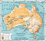
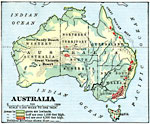
Physical Features of Australia, 1901
A map from 1901 of Australia showing the physical features of the region. This map is color–coded to show general elevations from sea level to over 6,500 feet, mountain systems, lakes, rivers, coastal features, islands and reefs, and the major ...

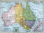
Australia, 1904
Map of Australia in 1904 showing the states and territories, major cities and ports, railroads, the Great Barrier Reef, rivers, and mountain systems. Two inset maps show New Zealand and Tasmania....

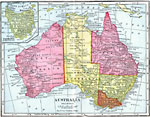
Australia, 1906
Map of Australia in 1906 showing the states and territories, major cities and ports, railroads, rivers, lakes, and major landforms. An inset map details the island state of Tasmania....

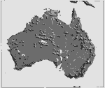
Relief Map of Australia, 1906
A black and white relief map of Australia showing mountain and river systems, coastal features, and other landforms. ...

Land Elevations of Australia, 1906
A physical map of Australia in 1906, showing general land elevations as lowlands in green, over 1,000 feet in buff, and over 4,000 feet in red. Also included on the map are political divisions....

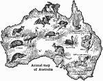
Animals of Australia, 1906
A pictorial map of Australia showing animals found in the various regions....

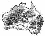
Plants of Australia, 1906
Plants found in Australia....

Australia and New Zealand, 1909
Map of Australia in 1909 showing the states and territories, major cities and ports, railroads, rivers, lakes, and major landforms. Inset maps detail the island state of Tasmania and the island country of New Zealand....

First Previous Next Last


  Maps > Australia > Complete Maps
Site Map  

Maps ETC is a part of the Educational Technology Clearinghouse
Produced by the Florida Center for Instructional Technology © 2009
College of Education, University of South Florida