Maps Site map
  Maps > Australia > Complete Maps
Site Map  

  Record   21   to   30  of   40

Historic and contemporary maps of Australia, including physical and political maps, climate maps, relief maps, and economic/resource maps.
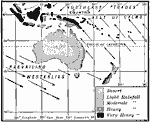
Rainfall and Wind in Oceania, 1910
A map from 1910 of Australasia showing prevailing wind direction and rainfall patterns in the region. The map shows the heavy rainfall on the east–facing coast of Australia where the trade winds blow. Notice also the arid interior and west coas...

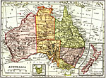
Australia, 1912
A map of Australia showing major political subdivisions, mountain ranges, railroads, waterways, and cities. Includes insert maps of Tasmania and New Zealand....

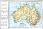
Australia, 1914
A map of Australia in 1914 showing states, territories, and divisions, major towns and cities, rivers, mountains, railways, overland telegraph routes, submarine cables, and steamship routes. This map also has a list of principle cities and towns of A...

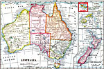
Australia, 1914–1919
Maps of Australia in 1919. ...

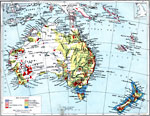
Economic Map of Australia, 1915
A map showing main economic products & principal railways throughout Australia....

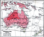
Temperature in Australia - January, 1915
A map from 1915 showing mean temperatures throughout Australia in January, given in degrees Fahrenheit. The map is color–coded to show the temperate temperatures below 70° in greens and yellow, and warm temperatures above 70° in reds....

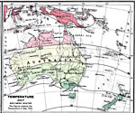
Temperature in Australia - July, 1915
A map from 1915 showing mean temperatures throughout Australia in July, given in degrees Fahrenheit. The map is color–coded to show the temperate temperatures below 70° in greens and yellow, and warm temperatures above 70° in reds....

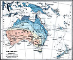
Rainfall in Australia in January, 1915
A map from 1915 of Australia showing mean rainfall distribution throughout the region in January, given in inches of precipitation. The map is color–coded to show the areas of sparse, moderate, and heavy rainfall....

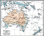
Rainfall in Australia in July, 1915
A map from 1915 of Australia showing mean rainfall distribution throughout the region in July, given in inches of precipitation. The map is color–coded to show the areas of sparse, moderate, and heavy rainfall....

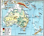
Australia – Orographical, 1915
A map from 1915 of Australia showing general land elevations above and below sea level throughout the region, mountain systems, basins, deserts, and plains....

First Previous Next Last


  Maps > Australia > Complete Maps
Site Map  

Maps ETC is a part of the Educational Technology Clearinghouse
Produced by the Florida Center for Instructional Technology © 2009
College of Education, University of South Florida