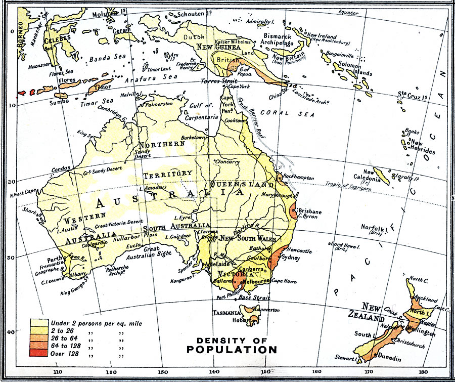
Description: A map from 1915 of Australia showing the population density of the region at the time. This map is keyed to show areas of population densities ranging from under 2 inhabitants per square mile to areas of over 128 inhabitants per square mile.
Place Names: A Complete Map of Australia, Brisbane, �Melbourne, �Perth, �Sydne
ISO Topic Categories: inlandWaters,
oceans,
location,
boundaries,
economy,
society
Keywords: Australia – Density of Population, physical, �political, �borders, �statistical, �population, �society, �demographics, physical features, country borders, population, inlandWaters,
oceans,
location,
boundaries,
economy,
society, Unknown, 1915
Source: J.G. Bartholomew, A School Economic Atlas (London, England: Oxford University Press, 1915) 49
Map Credit: Courtesy the private collection of Roy Winkelman |
|