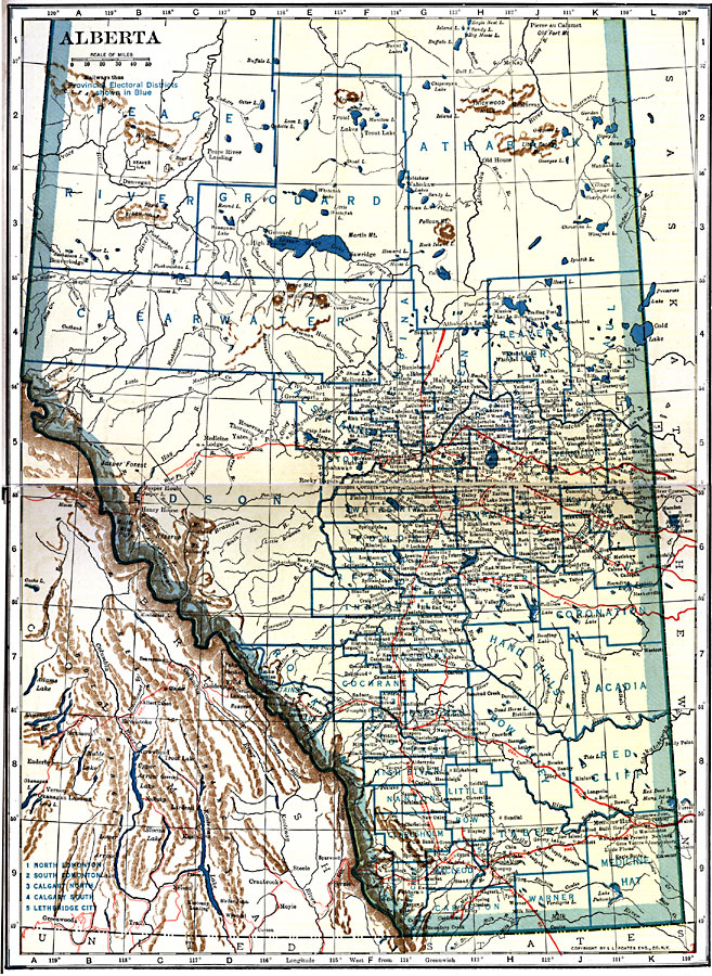
Description: A map from 1921 of the province of Alberta showing the counties, major cities and towns, existing and proposed railways, terrain features, rivers, and lakes of the province.
Place Names: Canada, Alberta, �Calgar
ISO Topic Categories: oceans,
location,
inlandWaters
Keywords: Alberta, borders, �physical, �railroads, �transportation, �country borders,
county borders, railroads, oceans,
location,
inlandWaters, Unknown, 1921
Source: L.L. Poates, Poates Complete Atlas of the World (New York, NY: Poates Corporation , 1921) 10-11
Map Credit: Courtesy the private collection of Roy Winkelman |
|