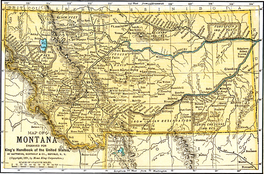
Description: A map from 1922 of Montana showing the capital of Helena, major cities and towns, Indian reservations, railroads, rivers, lakes, and mountains. The boundaries of Yellowstone National Park, primarily in Wyoming, are shown.
Place Names: Montana, Anaconda, �Billings, �Butte, �Bozeman, �Fort Benton, �Helena, �Livingston, �Missoula, �Virginia Cit
ISO Topic Categories: boundaries,
transportation,
inlandWaters,
location
Keywords: Montana, physical, �political, �transportation, physical features, major political subdivisions,
country borders, railroads, boundaries,
transportation,
inlandWaters,
location, Unknown, 1891
Source: Moses King, King's Handbook of the United States (Buffalo, NY: Moses King Corporation, 1891) 486
Map Credit: Courtesy the private collection of Roy Winkelman |
|