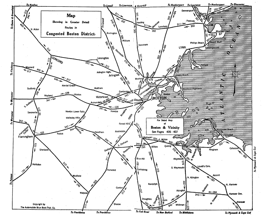
Description: A road map of the district of Boston, Massachusetts, from the Official Automobile Blue Book (1919), showing neighboring cities and major roads in the area. The map is subtitled "Showing in Greater Detail Routes in Congested Boston District."
Place Names: Massachusetts, Boston, �Cambridge, �Salem, �Lexington, �Concor
ISO Topic Categories: transportation,
oceans,
inlandWaters,
location
Keywords: Boston District, physical, �transportation, kAutomobile, physical features, roads, transportation,
oceans,
inlandWaters,
location, Unknown, 1919
Source: The Automobile Blue Book Company, Official Automobile Blue Book 1919 Vol 2 (New York, NY: The Automobile Blue Book Publishing Co., 1919) 36-37
Map Credit: Courtesy the private collection of Roy Winkelman |
|