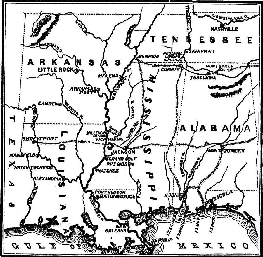
Description: A map of Arkansas, Louisiana, Tennessee, Mississippi, Alabama, and the western portion of Florida showing the area of western campaigns (1862) during the American Civil War. The map shows major cities, the railroad network, forts, coastline, and rivers in the region.
Place Names: Civil War, Alabama, �Arkansas, �Kentucky, �Louisiana, �Mississippi, �Tennessee, �Confederate territor
ISO Topic Categories: oceans,
location,
inlandWaters
Keywords: The War in the South and Southwest, physical, �historical, �military, �war, �country borders, Civil War, oceans,
location,
inlandWaters, Unknown, 1862
Source: David B. Scott, A School History of the United States, from the discovery of America to the year 1880. (New York, NY: American Book Company, 1884) 339
Map Credit: Courtesy the private collection of Roy Winkelman |
|