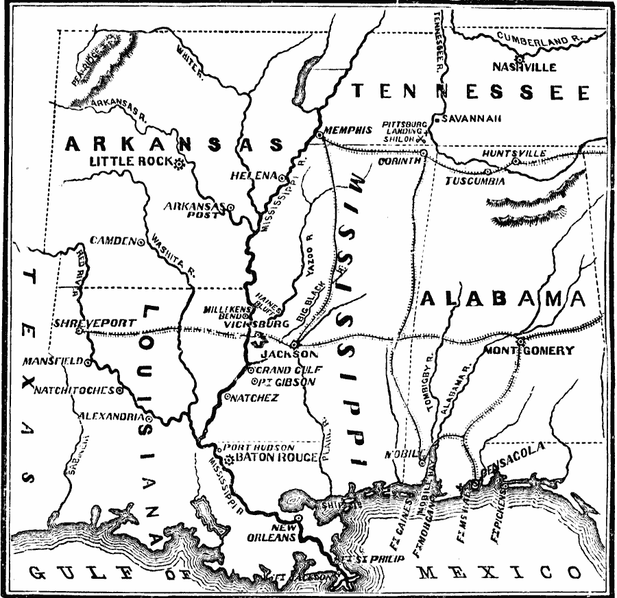
Description: A map showing the operations of the American Civil War in the Southwest, including the Red River Expedition in 1864.
Place Names: Civil War, Alabama, �Arkansas, �Baton Rouge, �Helena, �Huntsville, �Jackson, �Little Rock, �Louisiana, �Mississippi, �Montgomery, �Natchez, �New Orleans, �Savannah, �Shreveport, �Tennessee, �Texas, �Vicksbur
ISO Topic Categories: oceans,
location,
inlandWaters
Keywords: War in the Southwest - Red River Expedition, physical, �historical, �military, �war, �country borders, historical event, oceans,
location,
inlandWaters, Unknown, 1864
Source: David B. Scott, A School History of the United States, from the discovery of America to the year 1880. (New York, NY: American Book Company, 1884) 367
Map Credit: Courtesy the private collection of Roy Winkelman |
|