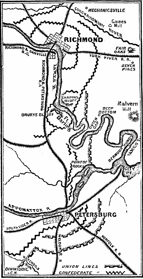
Description: A map of the vicinity of Petersburg and Richmond, Virginia in 1864–1865, showing rivers, railroads, and fortifications in the area during the final years of the American Civil War.
Place Names: Civil War, Lynchburg, �Petersburg, �Richmond, �Virgini
ISO Topic Categories: oceans,
location,
inlandWaters
Keywords: Petersburg and Richmond, physical, �historical, �military, �war, �country borders, historical event, oceans,
location,
inlandWaters, Unknown, 1864–1865
Source: David B. Scott, A School History of the United States, from the discovery of America to the year 1880. (New York, NY: American Book Company, 1884) 376
Map Credit: Courtesy the private collection of Roy Winkelman |
|