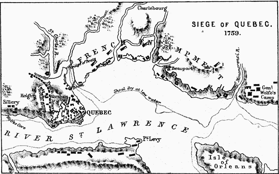
Description: The Siege of Quebec in 1759.
Place Names: Canada, Quebec, �Bridge of Boats, �Charlebourg, �Beauport, �Isle of Orleans, �Pt. Levy, �St. Charles River, �River St. Lawrenc
ISO Topic Categories: inlandWaters,
location
Keywords: Siege of Quebec, physical, �historical, �siege of quebec, french encampment, general wolfe's camp, british army, physical features,
topographical, other military, inlandWaters,
location, Unknown, 1759
Source: Samuel Rawson Gardiner D.C.L., L.L.D., School Atlas of English History (London, England: Longmans, Green, and Co., 1914) 80
Map Credit: Courtesy the private collection of Roy Winkelman |
|