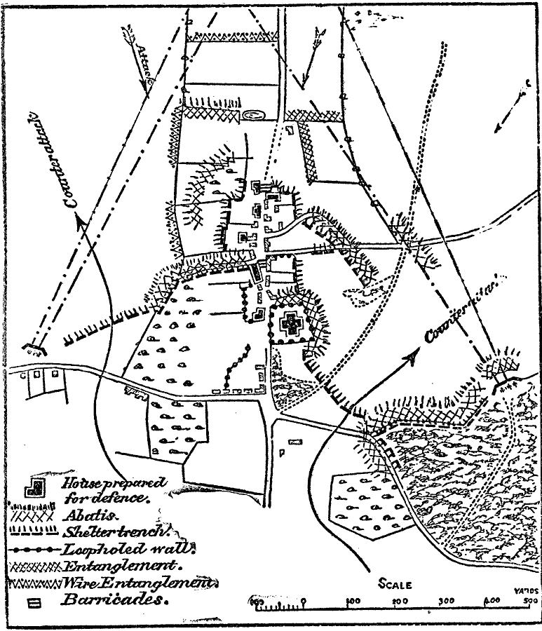
Description: A map from 1916 illustrating the typical defense of towns or villages. The map key shows houses prepared for defense, abatis (field fortifications), shelter trenches, loopholed walls, entanglement placements, wire entanglements, and barricades. The map also shows routes of attack and counter–attack.
Place Names: Map Drawing,
ISO Topic Categories: intelligenceMilitary,
inlandWaters,
transportation
Keywords: Defense of Towns and Villages, physical, �political, �transportation, physical features, local jurisdictions, roads, intelligenceMilitary,
inlandWaters,
transportation, Unknown, 1913
Source: Day Otis Kellogg, The Encyclopedia Britannica Vol 9 (New York, NY: The Werner Company, 1903) 436
Map Credit: Courtesy the private collection of Roy Winkelman |
|