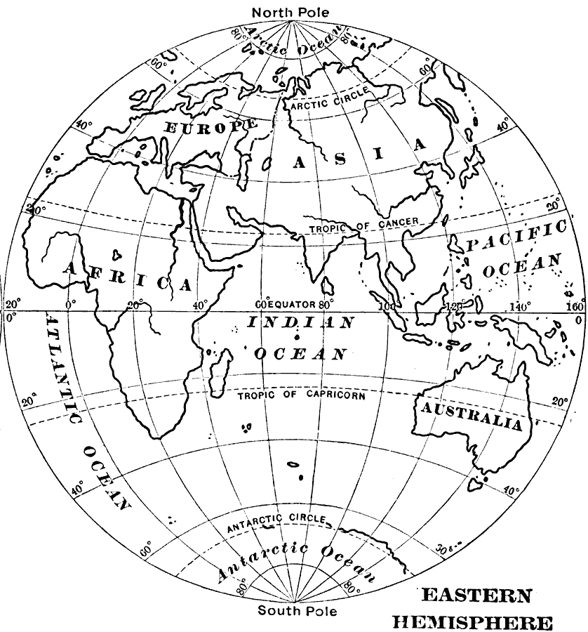
Description: An outline map of the Eastern Hemisphere from 1909 showing Europe, Asia, Africa, and Australia, major rivers, the Atlantic, Arctic, Pacific and Indian oceans, longitudes from 20° west to 160° east, and the great circles of the equator, Tropic of Cancer, Tropic of Capricorn, and the Arctic and Antarctic circles.
Place Names: Eastern Hemisphere, Europe, �Asia, �Australi
ISO Topic Categories: location,
inlandWaters,
oceans
Keywords: Outline Map of the Eastern Hemisphere, physical, physical features, location,
inlandWaters,
oceans, Unknown, 1909
Source: Charles F. King, Elementary Geography (New York, NY: Charles Scribner's Sons, 1909) 82
Map Credit: Courtesy the private collection of Roy Winkelman |
|