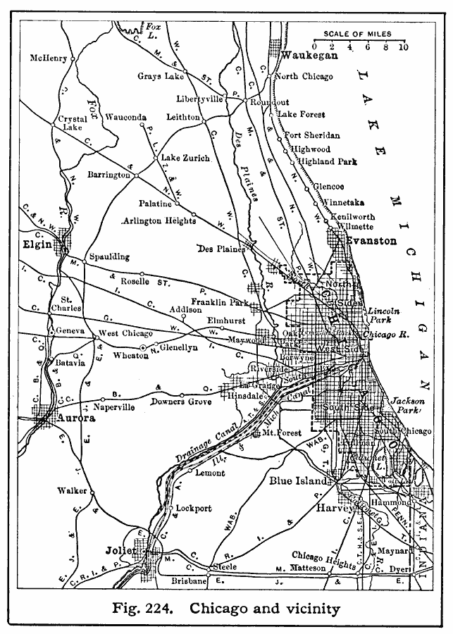
Description: A map from 1916 of Chicago and vicinity, showing the railroad network of the area, major cities and towns, rivers, and the southern portion of Lake Michigan from Waukegan to Chicago. The map coverage includes the cities of Elgin, Aurora, and Joliet.
Place Names: Illinois, Chicag
ISO Topic Categories: location,
inlandWaters,
transportation
Keywords: Chicago and Vicinity, transportation, �political, local jurisdictions, roads,
railroads, location,
inlandWaters,
transportation, Unknown, 1916
Source: Albert Perry Brigham & Charles T. McFarlane, Essentials of Geography (New York, NY: American Book Company, 1916) 146
Map Credit: Courtesy the private collection of Roy Winkelman |
|