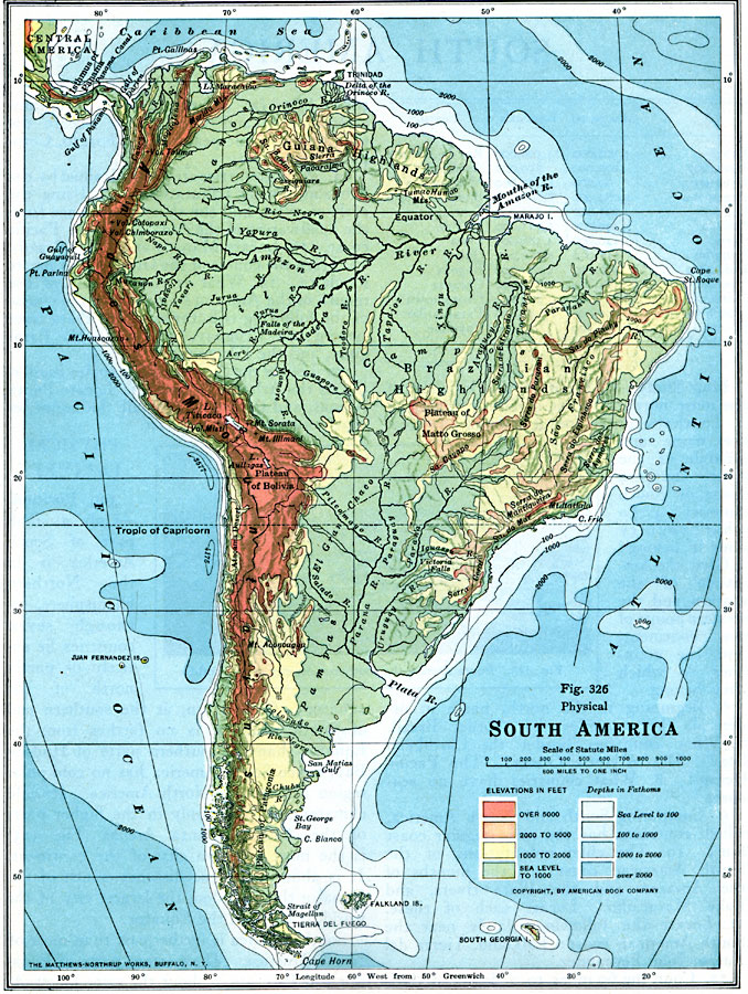
Description: A map from 1916 of South America showing the general physical features including mountain systems, prominent peaks and volcanoes, river and lake systems, plateaus, and coastal features. The map is color–contoured with land elevations ranging from sea level to over 5000 feet, and water depths from sea level to over 2000 fathoms. The main geophysical features shown are the Andes mountain chain, Llanos, Guiana Highlands, Silvas, Plateau of Bolivia, Brazilian Highlands, Plateau of Matto Grosso, El Gran Chaco, Pampas, and the Plateau of Patagonia.
Place Names: A Complete Map of South America,
ISO Topic Categories: location,
oceans,
inlandWaters
Keywords: Physical Map of South America, physical, physical features, location,
oceans,
inlandWaters, Unknown, 1916
Source: Albert Perry Brigham & Charles T. McFarlane, Essentials of Geography (New York, NY: American Book Company, 1916) 220
Map Credit: Courtesy the private collection of Roy Winkelman |
|