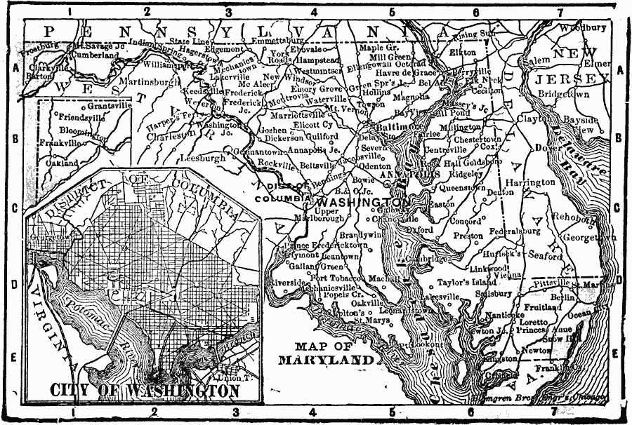
Description: A map from 1902 of Maryland showing the capital Annapolis, major cities, towns, and ports, railroads, rivers, and coastline features of the Chesapeake Bay. An inset map details the city of Washington.
Place Names: Maryland, Annapolis, �Baltimore, �Chesapeake Bay, �Marylan
ISO Topic Categories: boundaries,
inlandWaters,
location,
oceans
Keywords: Maryland, physical, �political, �borders, �boundaries, physical features, country borders, boundaries,
inlandWaters,
location,
oceans, Unknown, 1902
Source: George W. Conklin, The New Conklin's Handy Manual of Useful Information and Atlas of the World (Chicago, IL: The Christian Herald, 1902) 397
Map Credit: Courtesy the private collection of Roy Winkelman |
|