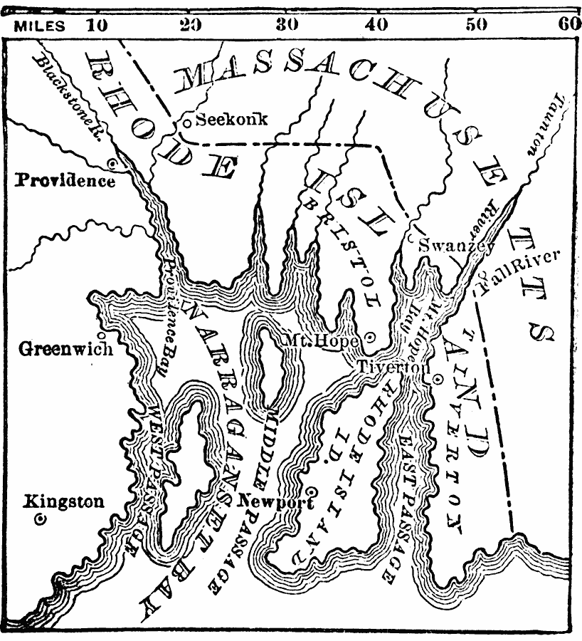
Description: A map of Narragansett Bay, Rhode Island, and part of Massachusetts, showing the area of the initial stage of King Phillip's War, also known as Metacom's Rebellion (1675–1676). The map shows the site of Swanzey (Swansea), Mt. Hope (Bristol), Kingston (Great Swamp Fight), Providence, Seekonk, and Newport.
Place Names: Early America 1400-1800, Rhode Island, �Massachusetts, �Greenwich, �Kingston, �Newport, �Colonial America, �King Philip's War, �Native American
ISO Topic Categories: boundaries,
intelligenceMilitary,
inlandWaters,
oceans,
location
Keywords: King Philip's War, physical, �political, �historical, physical features, major political subdivisions, boundaries,
intelligenceMilitary,
inlandWaters,
oceans,
location, Unknown, 1675–1676
Source: W. H. De Puy, People's Cyclopedia of Universal Knowledge Vol 1 (New York, NY: Phillips & Hunt, 1881) 953
Map Credit: Courtesy the private collection of Roy Winkelman |
|