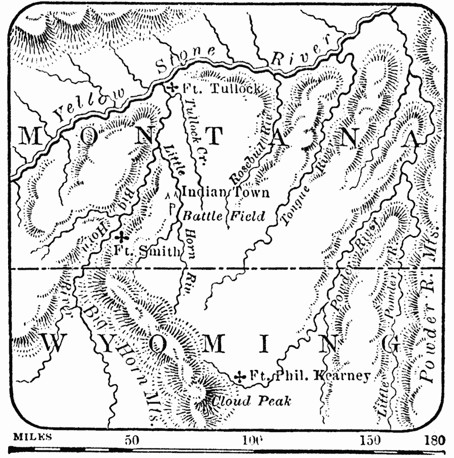
Description: A map showing the site of the Battle of the Little Bighorn or Battle of Grassy Creek during the Great Sioux War of 1876–1877. The map shows the Sioux village, the battle field near the Little Bighorn River, Fort Tullock, Fort Smith, and Fort Phil Kearney in Wyoming.
Place Names: Montana, Montana, �Wyoming, �Indian Town, �Ft. Smith, �Ft. Tulloc
ISO Topic Categories: boundaries,
inlandWaters,
location
Keywords: The Battle of Little Bighorn, physical, �political, kNativeAmerican, physical features, major political subdivisions, boundaries,
inlandWaters,
location, Unknown, 1876
Source: W. H. De Puy, People's Cyclopedia of Universal Knowledge Vol 1 (New York, NY: Phillips & Hunt, 1881) 954
Map Credit: Courtesy the private collection of Roy Winkelman |
|