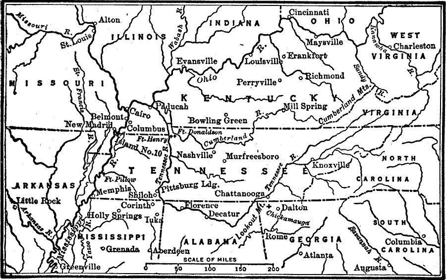
Description: A map of the Kentucky and Tennessee region showing the western area of operations around Perryville, Kentucky, during the American Civil War (1862). The map shows state boundaries, major cities and towns, forts, and rivers in the area. The Battle of Perryville (October 8, 1862) was an important battle, ending the Confederate Heartland Campaign (Kentucky Campaign).
Place Names: Civil War, Perryville, �Tennessee, �Alabama, �Kentucky, �Virginia, �West Virginia, �Indiana, �Illinois, �Missouri, �Arkansas, �Mississipp
ISO Topic Categories: boundaries,
transportation,
location,
inlandWaters
Keywords: Campaigns around Perryville Kentucky, physical, �political, physical features, major political subdivisions, boundaries,
transportation,
location,
inlandWaters, Unknown, 1862
Source: Robert Hall, Harriet Smither, and Clarence Ousley, A History of the United States (Dallas, TX: The Southern Publishing Company, 1920) 355
Map Credit: Courtesy the private collection of Roy Winkelman |
|