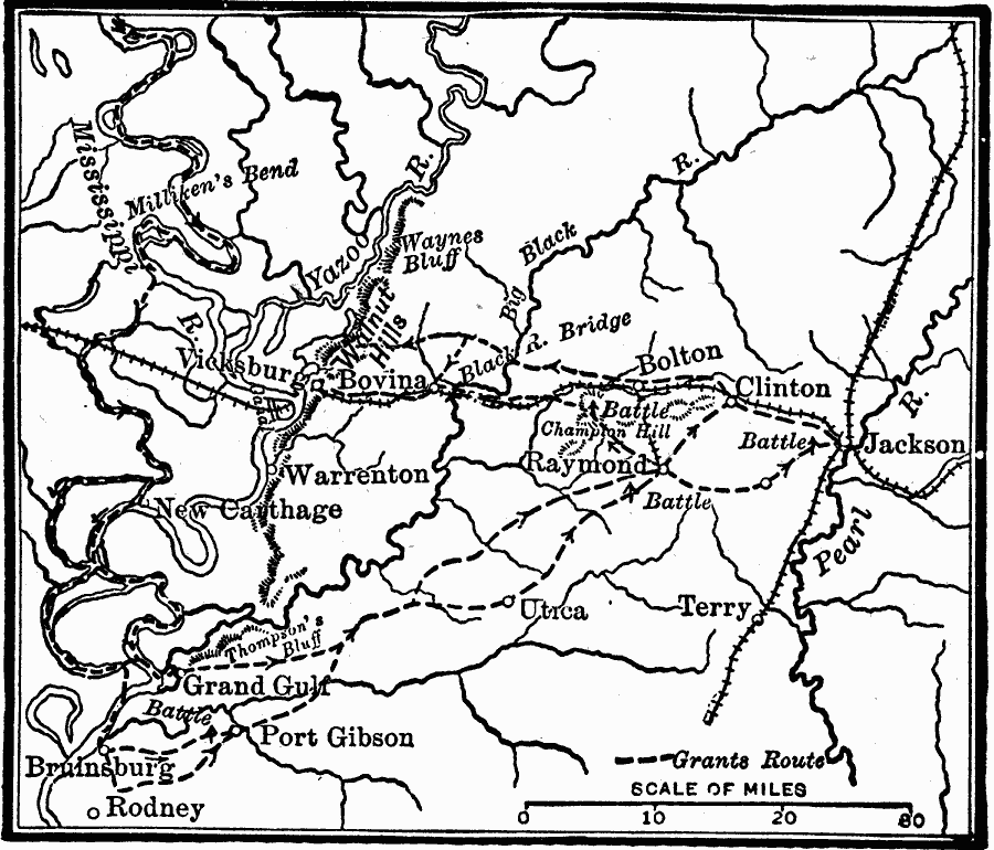
Description: A map showing Grant's route during the Vicksburg campaign of the American Civil War (1863). The map shows the Mississippi River, strategic railroads, and Grant's advances through the area toward the seige and capture of Vicksburg.
Place Names: Civil War, Vicksburg, �Carthage, �Port Gibson, �Clinton, �Jackson, �Bovini
ISO Topic Categories: location,
inlandWaters,
transportation,
intelligenceMilitary
Keywords: Grant's Road to Vicksburg, physical, �transportation, �historical, physical features, railroads, Civil War, location,
inlandWaters,
transportation,
intelligenceMilitary, Unknown, 1863
Source: Robert Hall, Harriet Smither, and Clarence Ousley, A History of the United States (Dallas, TX: The Southern Publishing Company, 1920) 365
Map Credit: Courtesy the private collection of Roy Winkelman |
|