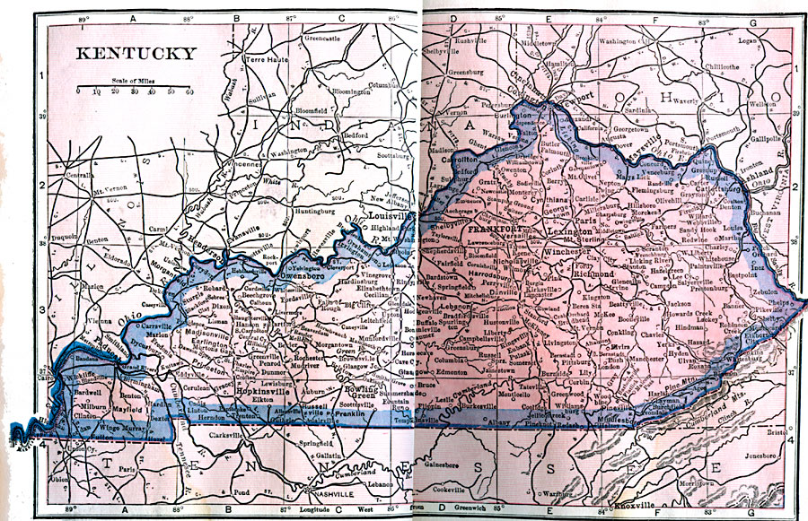
Description: A map from 1922 of Kentucky showing the State capital of Frankfort, major cities and towns, railroads, and rivers.
Place Names: Kentucky, Frankfort, �Lexington, �Louisville, �Shelbyville, �Madisonvill
ISO Topic Categories: boundaries,
inlandWaters,
location
Keywords: Kentucky, physical, physical features, boundaries,
inlandWaters,
location, Unknown, 1922
Source: , Putnam's Handy Map Book (New York, NY: G. P. Putnam's Sons, 1922) 210-211
Map Credit: Courtesy the private collection of Roy Winkelman |
|