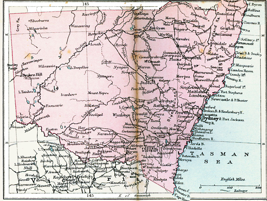
Description: A 1920 map of New South Wales in Australia showing cities, rivers, mountains, and coastal features. The Federal District and the Australian capital of Canberra are also shown.
Place Names: New South Wales, Broken Hill, �Bourke, �Grafton, �Armidale, �Tarroworth, �Sydney, �Canberra, �Lambton, �Maitland, �Singleto
ISO Topic Categories: boundaries,
inlandWaters,
location,
oceans,
transportation
Keywords: New South Wales, physical, �political, �transportation, physical features, major political subdivisions, railroads, boundaries,
inlandWaters,
location,
oceans,
transportation, Unknown, 1920
Source: , Asprey's Atlas of the World (London, England: Asprey and Co., Ltd., 1920) 112
Map Credit: Courtesy the private collection of Roy Winkelman |
|