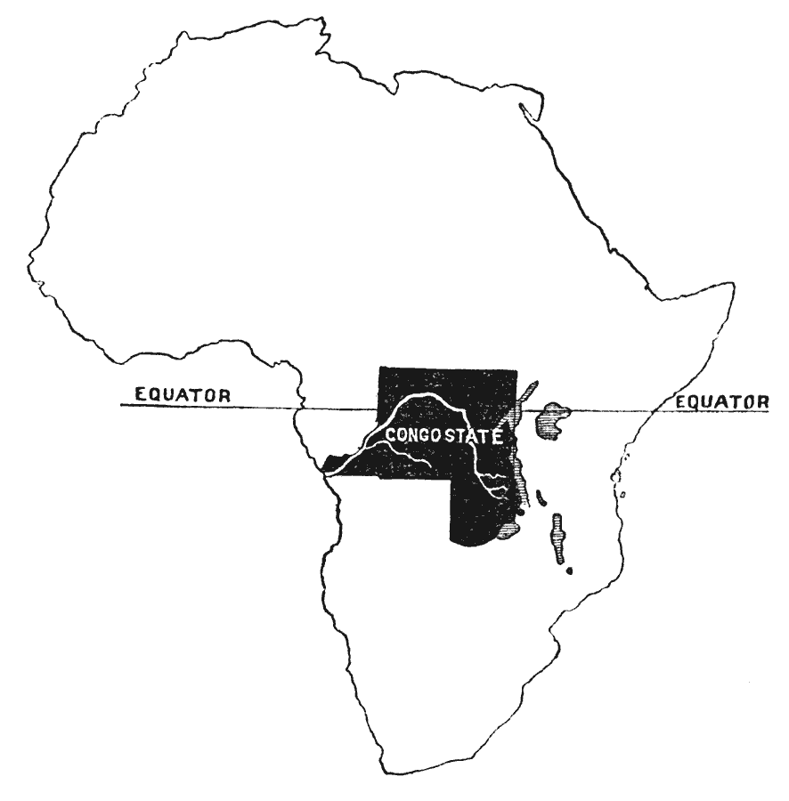
Description: Map showing the location of the Congo State within the African continent, with the equator and Congo River indicated. The Congo State, controlled by Leopold II of Belgium, was established in 1885 as a corporate state similar to the British East India Company for the purpose of developing a trade monopoly in central Africa.
Place Names: A Complete Map of Africa, Congo State, �Equator
ISO Topic Categories: boundaries,
location,
inlandWaters
Keywords: Congo State, political, country borders, boundaries,
location,
inlandWaters, Unknown, 1893
Source: A. W. Greely, Men of Achievement: Explorers and Travellers (New York, New York: Charles Scribner's Sons, 1893) 355
Map Credit: Courtesy the private collection of Roy Winkelman |
|