Maps Site map
  Maps > Africa > A Complete Map of Africa
Site Map  

  Record   1   to   10  of   86

Historic and contemporary maps of Africa, including political and physical maps, pre-colonial and colonial maps, climate maps, relief maps, population density and distribution maps, vegetation maps, and economic/resource maps.

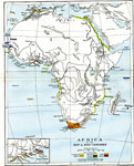
Portuguese Discoveries in Africa, 1340–1498
A map of Africa from 1906 showing Portuguese discoveries along the coast from 1340 to 1498. The map shows Cape Sagres and Lagos, Portugal, point of embarkation for voyages of exploration under Prince Henry "the Navigator" (1394-1460). This ...

Pre-Colonial Africa, 17th and 18th Centuries
Map of Africa in the 17th & 18th centuries. This map is color–coded to show the possessions of European powers established in Africa, circa 1790, including Portuguese, English, Spanish, French, Dutch and Danish claims, and the Turkish Ottoman c...

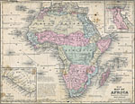
Pre-Colonial Africa, 1858
Map of Africa in 1858, prior to the extensive European colonization of the continent established at the Berlin Conference of 1885. This map shows the European possessions of the Cape Colony, Natal, and Orange River Free State, and the native African ...

Pre-Colonial Africa, 1870
A physical and political map of Africa prior to the Berlin Conference of 1885, which established the European colonial territory claims on the continent. This map shows the African states of Morocco, Algiers (Algeria), Tripoli, Egypt, Nubia, Abyssini...

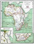
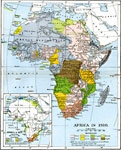
The Colonization of Africa, 1870–1910
A map showing the European colonization of the African continent before and after the Berlin Conference of 1885, when the most powerful countries in Europe at the time convened to make their territorial claims on Africa and establish their colonial b...

Pre-Colonial Africa, 1872
A map of Africa showing the continent prior to the Berlin Conference of 1885, when the most powerful countries in Europe at the time convened to make their territorial claims on Africa and establish their colonial borders at the start of the New Impe...

Relief Map of Africa, 1872
A relief map from 1872 of Africa showing the major river, lake, desert and mountain systems on the continent. ...

Native Territories and European Possessions in Africa, 1876
A map of Africa in 1876 showing native African States and European possessions of Britain, France, Spain and Portugal prior to the Berlin Conference of 1885. On this map, European possessions include Algeria, Cape Colony, Griquala Land West, Orange R...

Physical and Political Map of Africa, 1879
Map of pre-colonial Africa, showing the predominately native countries and territories of the African continent in 1879. The counties include the Barbary States of Morocco, Algeria, Tunis, Tripoli and Fezzan, the Egyptian territories of Egypt Proper,...

Africa before the Berlin Conference, 1882
A map of Africa as it was known in 1882 before the Berlin Conference of 1885, when the most powerful countries in Europe at the time convened to make their territorial claims on Africa and establish their colonial borders at the start of the New Impe...

Next Last


  Maps > Africa > A Complete Map of Africa
Site Map  

Maps ETC is a part of the Educational Technology Clearinghouse
Produced by the Florida Center for Instructional Technology © 2009
College of Education, University of South Florida