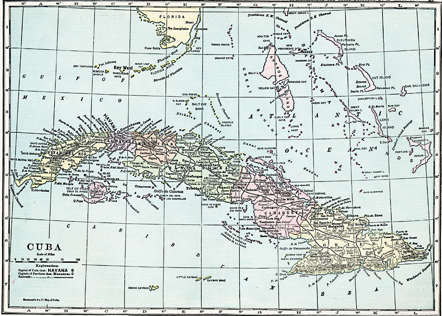
Description: A map from 1920 of Cuba showing the capital of Havana, provinces and provincial capitals, major cities and towns, railroads, rivers, terrain and coastal features, and smaller neighboring islands. The map shows Cuba's proximity to southern Florida and the Bahamas.
Place Names: Cuba, Manzanillo, �Havana, �Pinar Del Rio, �Santiago De Cuba, �Santa Clar
ISO Topic Categories: boundaries,
location,
inlandWaters,
oceans,
transportation
Keywords: Cuba, physical, �transportation, physical features, railroads, boundaries,
location,
inlandWaters,
oceans,
transportation, Unknown, 1920
Source: , Hammond's Modern Atlas of the World (New York, NY: C. S. Hammond and Company, Inc., 1920) 18
Map Credit: Courtesy the private collection of Roy Winkelman |
|