mapsMaps ETC Site map
 Maps ETC > United States > Early America 1400-1800 > The Disputed Territory during the French and Indian War, 1754–1763
Site Map 

The Disputed Territory during the French and Indian War, 1754–1763

The Disputed Territory during the French and Indian War


Title: The Disputed Territory during the French and Indian War
Projection: Unknown,
Source Bounding Coordinates:
W: E: N: S:

Main Map Page
Zoomify Version
B/W PDF Version
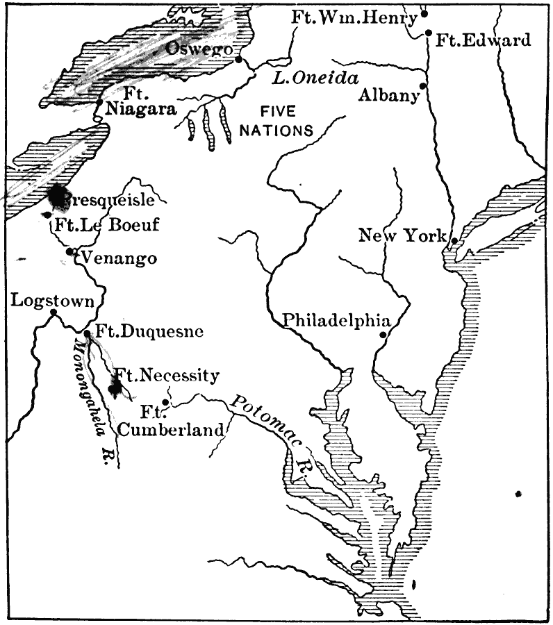
Description: The disputed territory of the United States.
Place Names: Early America 1400-1800, New York, Philadelphia, Five Nations, Native Americans, French, Englis
ISO Topic Categories: oceans, location, inlandWaters
Keywords: The Disputed Territory during the French and Indian War, borders, political, country borders, oceans, location, inlandWaters, Unknown, 1754–1763
Source: Gertrude van Duyn Southworth, A First Book in American History (New York, NY: D. Appleton and Co. , 1907) 133
Map Credit: Courtesy the private collection of Roy Winkelman
SearchLicensePDF HelpGIS Help Google Earth Help Zoomify Help

 Maps ETC > United States > Early America 1400-1800 > The Disputed Territory during the French and Indian War, 1754–1763
Site Map