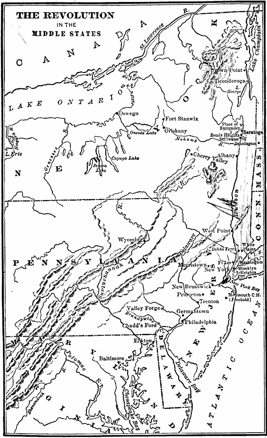
Description: A map of America's middle states during the time of the American Revolution, including New York, Pennsylvania, New Jersey, Delaware, Maryland, and part of Virginia and North Carolina. The map shows major cities, towns, forts, battle sites, mountain systems, rivers, and coastal features of the region.
Place Names: Early America 1400-1800, Connecticut, �Delaware, �Massachusetts, �New Jersey, �New York, �Pennsylvania, �Virginia, �American Revolution, �Middle State
ISO Topic Categories: oceans,
location,
inlandWaters
Keywords: The Revolution in the Middle States, borders, �political, �historical, kAmericanRevolution, country borders, American Revolution, oceans,
location,
inlandWaters, Unknown, 1776
Source: Gertrude van Duyn Southworth, A First Book in American History (New York, NY: D. Appleton and Co. , 1907) 182
Map Credit: Courtesy the private collection of Roy Winkelman |
|