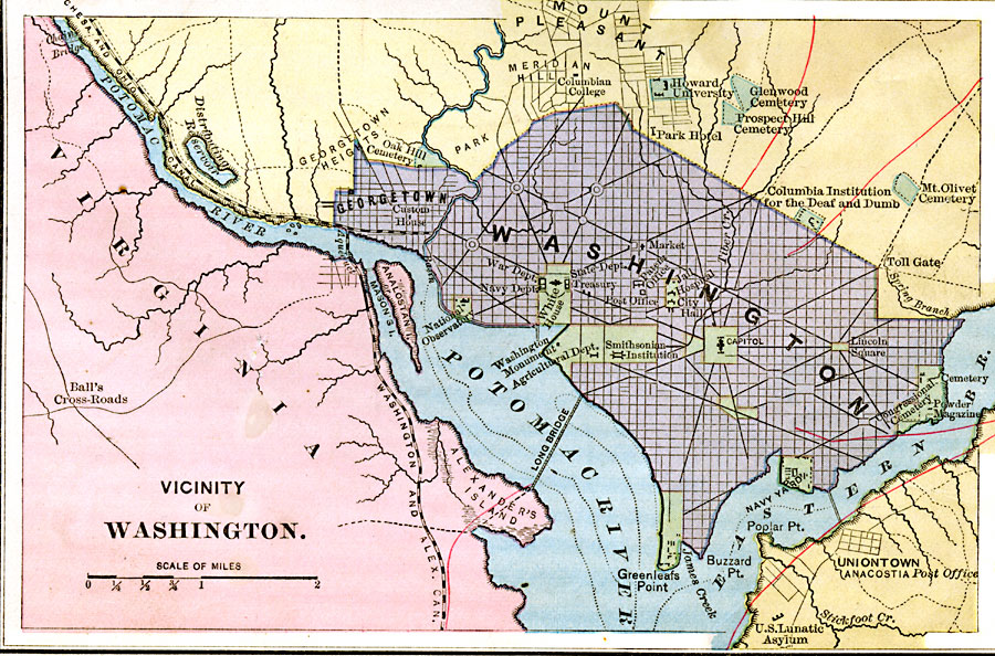
Description: A map from 1883 of Washington D.C. and vicinity, showing roads, railways, the Potomac and bridges, and major landmarks.
Place Names: District of Columbia, Washington D.C., �Potomac River, �Mount Pleasant, �Georgetown,
ISO Topic Categories: boundaries,
location,
inlandWaters,
transportation
Keywords: Washington D.C., physical, �transportation, physical features, water routes, boundaries,
location,
inlandWaters,
transportation, Unknown, 1883
Source: , Handy Atlas of the World (New York, NY: Ivison, Blakeman, Taylor and Co., 1883) 11
Map Credit: Courtesy the private collection of Roy Winkelman |
|