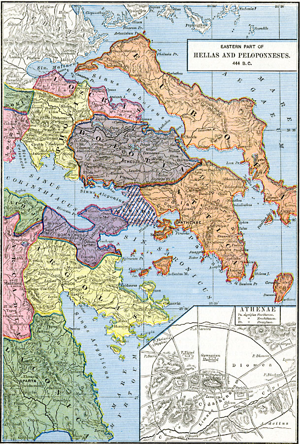
Description: A map of Hellas and the eastern portion of Peloponnesus in 444 BC at the end of the first Peloponnesian War, and at a time when conservative and democratic factions in Athens were struggling for control. The map is color–coded to show the political divisions of the region, including Attica, Boeotia, Megaris, Euboea, Locris, Phocis, and Argolis. An inset map details the city of Athenea (Athens) at the time, showing historic landmarks such as the Parthenon, Erechtheum, Propylaea, Olympicum, Acropolis, and others, and shows the city fortification, roads, the River Ilissus, and terrain of the area.
Place Names: Greece, Achaja, �Arcadia, �Arcolis, �Athens, �Attica, �Boeotia, �Corinth, �Doris, �Euboea, �Locris, �Phocia, �Spart
ISO Topic Categories: oceans,
location,
inlandWaters,
boundaries
Keywords: Eastern Part of Hellas and Peloponnesus, borders, �political, major political subdivisions, oceans,
location,
inlandWaters,
boundaries, Unknown, 444 BC
Source: Robert H. Labberton, New Historical Atlas and General History (New York, NY: Townsend MacCoun, 1886) Plate X
Map Credit: Courtesy the private collection of Roy Winkelman |
|