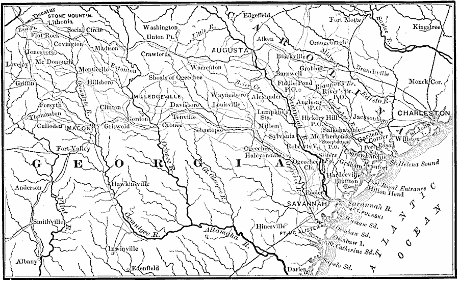
Description: A map of part of Georgia in 1864 showing the area of the march by Sherman from Atlanta to Savannah. The map shows cities and towns, roads, railroads, rivers, and coastal features in the area from Decatur to Savannah, including Macon, Augusta, Charleston, Santee River, Savannah River, Ocmulgee River, and Altamaha River.
Place Names: Civil War, Albany, �Augusta, �Georgia, �Carolina, �Charleston, �Savannah, �Atlant
ISO Topic Categories: location,
oceans,
inlandWaters,
boundaries,
transportation
Keywords: Atlanta to Savannah, physical, �transportation, �historical, physical features, roads,
railroads, Civil War, location,
oceans,
inlandWaters,
boundaries,
transportation, Unknown, 1864
Source: E. Benjamin Andrews, History of the United States Vol IV (New York, NY: Charles Scribner's Sons, 1895) 65
Map Credit: Courtesy the private collection of Roy Winkelman |
|