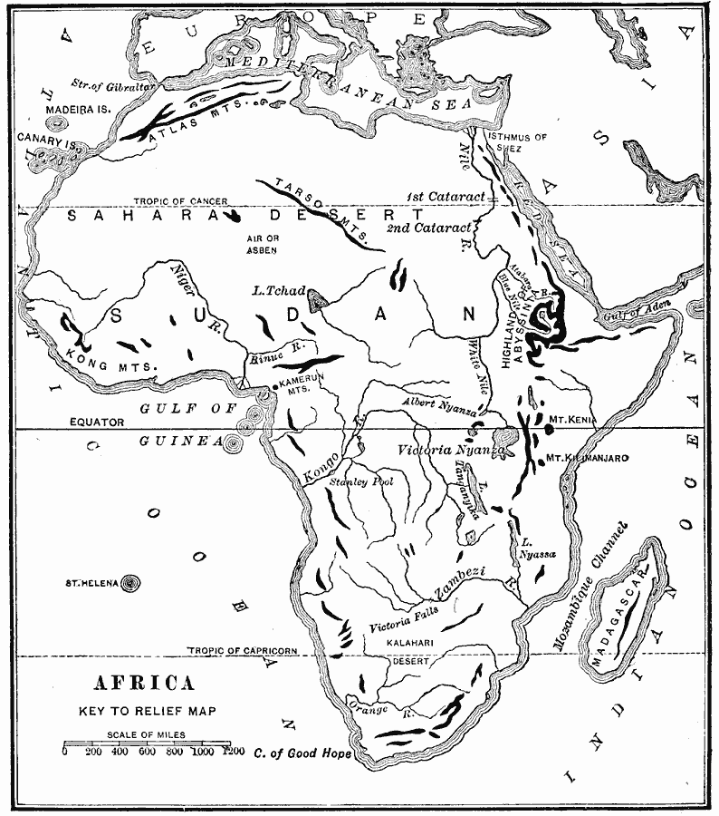
Description: A map from 1904 of Africa and Madagascar showing the principal mountain, lake, and river systems. Mountain chains are shown with heavy black lines.
Place Names: A Complete Map of Africa, Madagascar, �Sahara Desert, �Niger River, �Nile River, �Victoria Falls, �Zambezi River, �Victoria Nyanza, �Tarso Mountains, �Atlas Mountains,
ISO Topic Categories: inlandWaters,
location,
oceans
Keywords: Landforms of Africa, physical, �statistical, physical features, industry, inlandWaters,
location,
oceans, Unknown, 1904
Source: Alexis Everett Frye, Elements of Geography (Boston, MA: Ginn and Company, 1904) 99
Map Credit: Courtesy the private collection of Roy Winkelman |
|