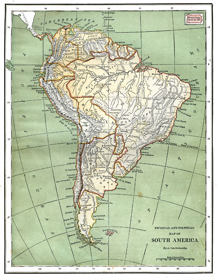
Description: A map of South America from 1870 showing the political boundaries of the time. The map shows capitals, major cities, ports, rivers, terrain and coastal features. Mountain chains and systems are shown by hatchure. An outline map of Pennsylvania at the same map scale is included to show the comparative area size relationship.
Place Names: A Complete Map of South America, Argentina, �Chile, �Brazil, �Bolivia, �Columbia, �Venezuela, �Ecuador, �Peru, �Paraguay, �Urugua
ISO Topic Categories: boundaries,
inlandWaters,
location,
oceans
Keywords: South America, physical, �political, kComparativeArea, physical features,
topographical, country borders, boundaries,
inlandWaters,
location,
oceans, Unknown, 1870
Source: A. Von Steinwehr, Intermediate Geography (Cincinnati, Ohio: Wilson, Hinkle & Co., 1870) 60
Map Credit: Courtesy the private collection of Roy Winkelman |
|