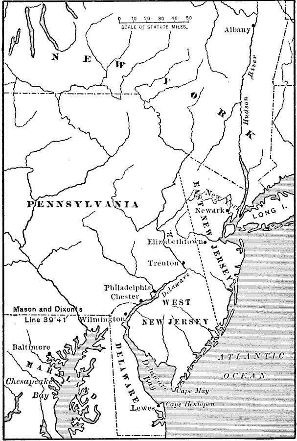
Description: A map of the Middle Colonies of New Jersey and eastern Pennsylvania, with portions of New York, Maryland and Delaware, showing the early European settlements in the area from 1609 to 1702. The map shows the boundary between West New Jersey and East New Jersey established in 1676 (unified under the governor of New York in 1702), and the settlements of Elizabethtown, New York (New Amsterdam), Trenton, Philadelphia, Chester, and Baltimore.
Place Names: Early America 1400-1800, Delaware, �Maryland, �New Jersey, �New York, �Pennsylvania, �New York State, �Middle Atlantic States, �Mid-Atlantic States, �Colonial Americ
ISO Topic Categories: oceans,
location,
inlandWaters
Keywords: The Middle Colonies, physical, country borders,
local jurisdictions, oceans,
location,
inlandWaters, Unknown, 1609–1702
Source: Jacques W. Redway, F.R.G.S., The Redway School History (New York, NY: Silver, Burdett and Company, 1911) 53
Map Credit: Courtesy the private collection of Roy Winkelman |
|