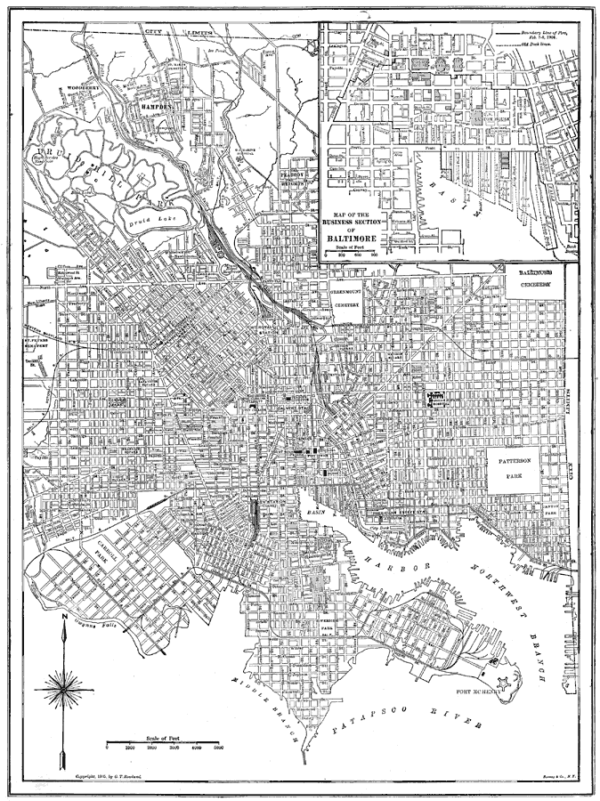
Description: A city plan from 1922 of Baltimore showing major streets, railroads and stations, harbor and basin, the Patapsco River, parks, and major landmarks. An inset map details the business section of the city.
Place Names: Maryland, Baltimore, �Patapsco River, �Fort McHenry,
ISO Topic Categories: transportation,
inlandWaters
Keywords: Baltimore, Maryland, physical, �transportation, physical features, roads,
railroads,
water routes, transportation,
inlandWaters, Unknown, 1914
Source: , The New Encyclopedic Atlas and Gazetteer of the World (New York, NY: P. F. Collier and Son, 1914) 150
Map Credit: Courtesy the private collection of Roy Winkelman |
|