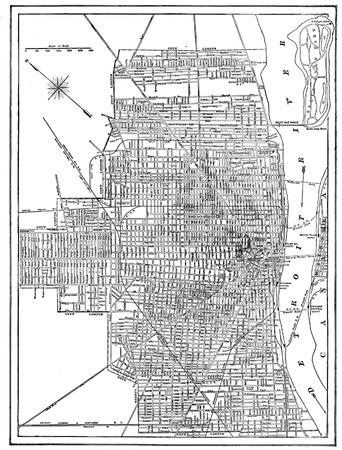
Description: A city plan from 1914 of Detroit showing city limits, major streets, the Detroit River, railroads and stations, and bridges.
Place Names: Michigan, Detroit, �Detroit River, �Belle Sole Park,
ISO Topic Categories: inlandWaters,
transportation
Keywords: Detroit, Michigan, railroads,
roads,
water routes, inlandWaters,
transportation, Unknown, 1914
Source: , The New Encyclopedic Atlas and Gazetteer of the World (New York, NY: P. F. Collier and Son, 1914) 172
Map Credit: Courtesy the private collection of Roy Winkelman |
|