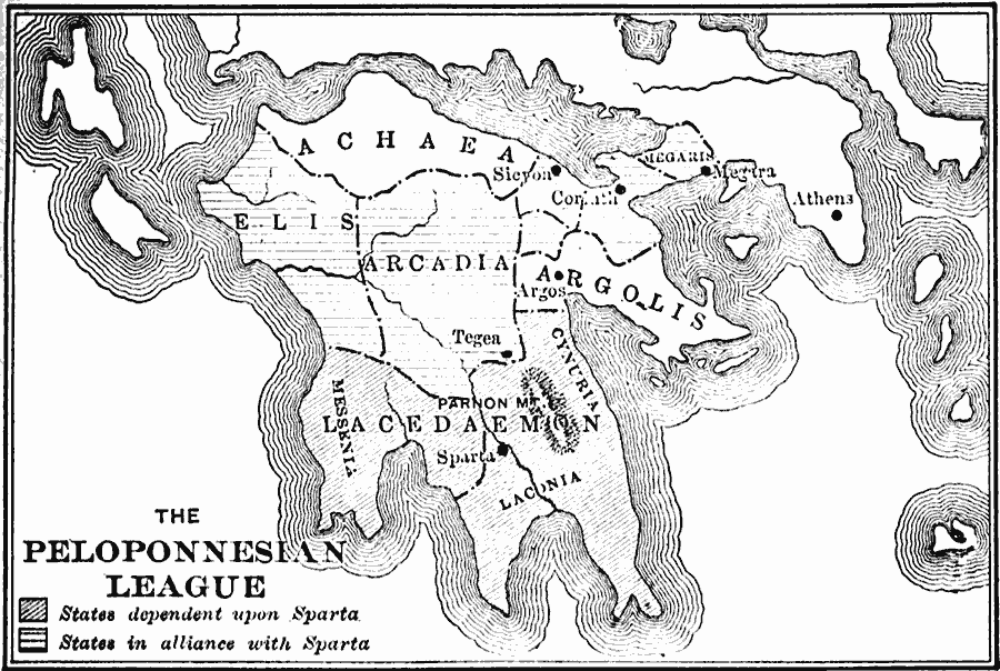
Description: A map of southern Greece showing the Peloponnesian League during the Peloponnesian War with Athens, indicating the states dependent on Sparta, and the states in alliance with Sparta.
Place Names: Greece, Sparta, �Tegea, �Sicyon, �Athens, �Corint
ISO Topic Categories: location,
inlandWaters,
oceans,
boundaries,
society
Keywords: The Peloponnesian League, physical, �political, �statistical, kAncientGreece, physical features, major political subdivisions, population, location,
inlandWaters,
oceans,
boundaries,
society, Unknown, 500 BC
Source: George Willis Botsford, Ph. D., A History of Greece (London, : The Macmillan Company, 1912) 79
Map Credit: Courtesy the private collection of Roy Winkelman |
|