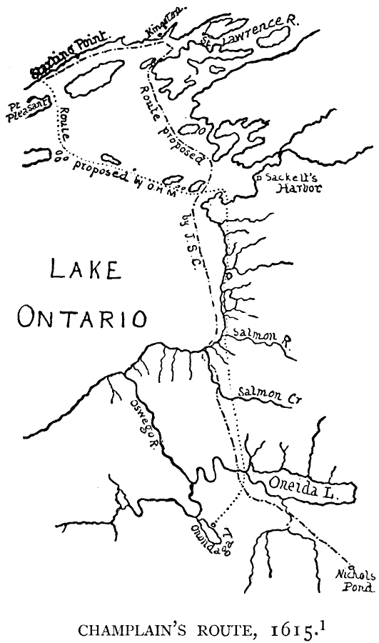
Description: A facsimile of a sketch map from historian Orsamus H. Marshall (1878) titled "Champlain's Expedition of 1615." The map shows the route of Champlain from Quinté Bay to the fort attacked by him as proposed by Marshall and the route as proposed by John S. Clark. The map shows the eastern part of Lake Ontario, the St. Lawrence River, the settlement of Kingston, Sackett's Harbor, Oneida Lake, and the proposed sites of attack on Onondaga Lake and Nichols Pond.
Place Names: Canada, Ontari
ISO Topic Categories: oceans,
location,
inlandWaters
Keywords: Champlain's Route, borders, �physical, kEarlyMapsFacsimile, oceans,
location,
inlandWaters, Unknown, 1615
Source: Justin Winsor, Narrative and Critical History of America (vol. 4) (Boston, MA: Houghton, Mifflin, and Company, 1884) 125
Map Credit: Courtesy the private collection of Roy Winkelman |
|