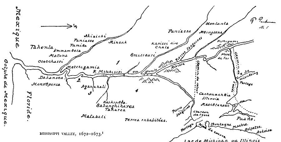
Description: A facsimile from the collection of Francis Parkman (1865) of an early map of the Mississippi River Valley from the Great Lakes to the Gulf of Mexico, showing the explorations of Father Jacques Marquette (1672–1673). The map shows Lac de Michigan ou Illinois (Lake Michigan or Illinois), Rivé Mitchisipi (Mississippi River), and the Golphe de Mexique (Gulf of Mexico).
Place Names: Early America 1400-1800, Mississippi River, �Mississippi Valle
ISO Topic Categories: oceans,
location,
inlandWaters
Keywords: Mississippi Valley, physical, kEarlyMapsFacsimile, oceans,
location,
inlandWaters, Unknown, 1672–1673
Source: Justin Winsor, Narrative and Critical History of America (vol. 4) (Boston, MA: Houghton, Mifflin, and Company, 1884) 221
Map Credit: Courtesy the private collection of Roy Winkelman |
|