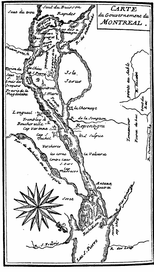
Description: A facsimile of an early map of the vicinity of Montreal circa 1665. The map is oriented with north to the lower right. The map shows the Island of Montreal, Isle Jesus, the St. Lawrence River, Richelieu River, Lac Saint–Pierre, forts, Indian villages, and neighboring settlements at the time.
Place Names: Canada, Montreal, �Quebe
ISO Topic Categories: oceans,
location,
inlandWaters
Keywords: Montreal and Vicinity, physical, oceans,
location,
inlandWaters, Unknown, 1665
Source: Justin Winsor, Narrative and Critical History of America (vol. 4) (Boston, MA: Houghton, Mifflin, and Company, 1884) 298
Map Credit: Courtesy the private collection of Roy Winkelman |
|