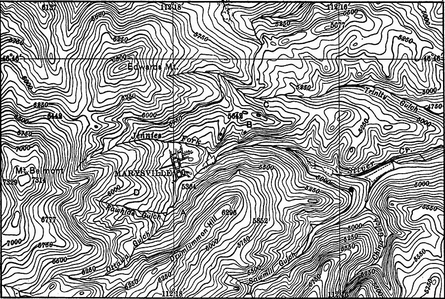
Description: A contour map from 1911 showing the topography of western Montana in the vicinity of Marysville.
Place Names: Montana, Marysville,
ISO Topic Categories: society,
structure,
transportation,
boundaries,
elevation
Keywords: Western Montana, physical, �transportation, �political, topographical,
physical features, local jurisdictions, roads, society,
structure,
transportation,
boundaries,
elevation, Unknown, 1911
Source: Isaiah Bowman, Ph. D, Forest Physiography (New York, NY: John Wiley and Sons, 1911) 318
Map Credit: Courtesy the private collection of Roy Winkelman |
|