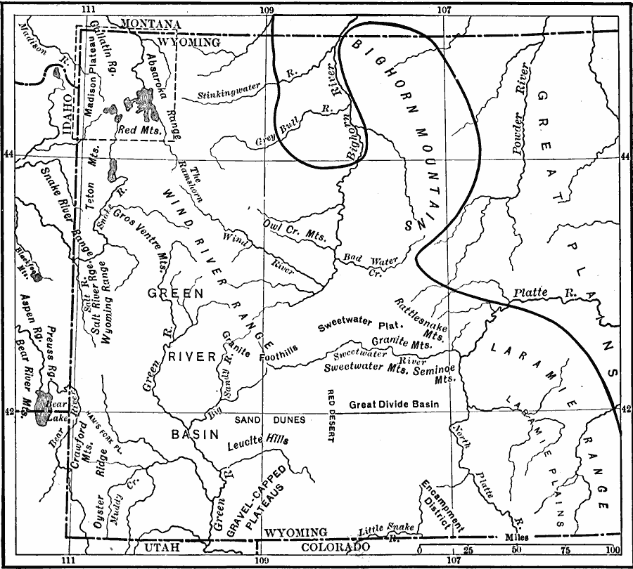
Description: A map from 1911 of the central Rockies in Wyoming, showing the location of principal ranges.
Place Names: Wyoming, Wyoming, �Big Horn Mountains, �Laramie Rang
ISO Topic Categories: boundaries,
location,
inlandWaters
Keywords: Central Rockies, physical, �political, �mountains, �Rocky Mountains, physical features, major political subdivisions, boundaries,
location,
inlandWaters, Unknown, 1911
Source: Isaiah Bowman, Ph. D, Forest Physiography (New York, NY: John Wiley and Sons, 1911) 330
Map Credit: Courtesy the private collection of Roy Winkelman |
|