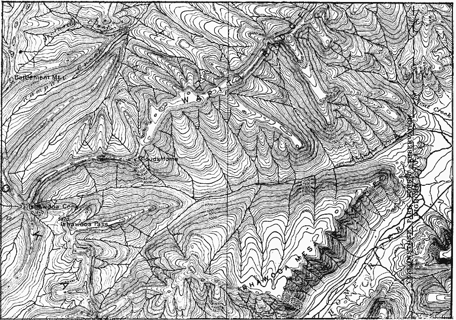
Description: A contour map from 1911 showing the topography of the Absaroka Range 10 miles east of Yellowstone National Park.
Place Names: Wyoming,
ISO Topic Categories: boundaries,
inlandWaters,
location,
elevation
Keywords: Absaroka Range, physical, �political, physical features,
topographical, local jurisdictions, boundaries,
inlandWaters,
location,
elevation, Unknown, 1911
Source: Isaiah Bowman, Ph. D, Forest Physiography (New York, NY: John Wiley and Sons, 1911) 336
Map Credit: Courtesy the private collection of Roy Winkelman |
|