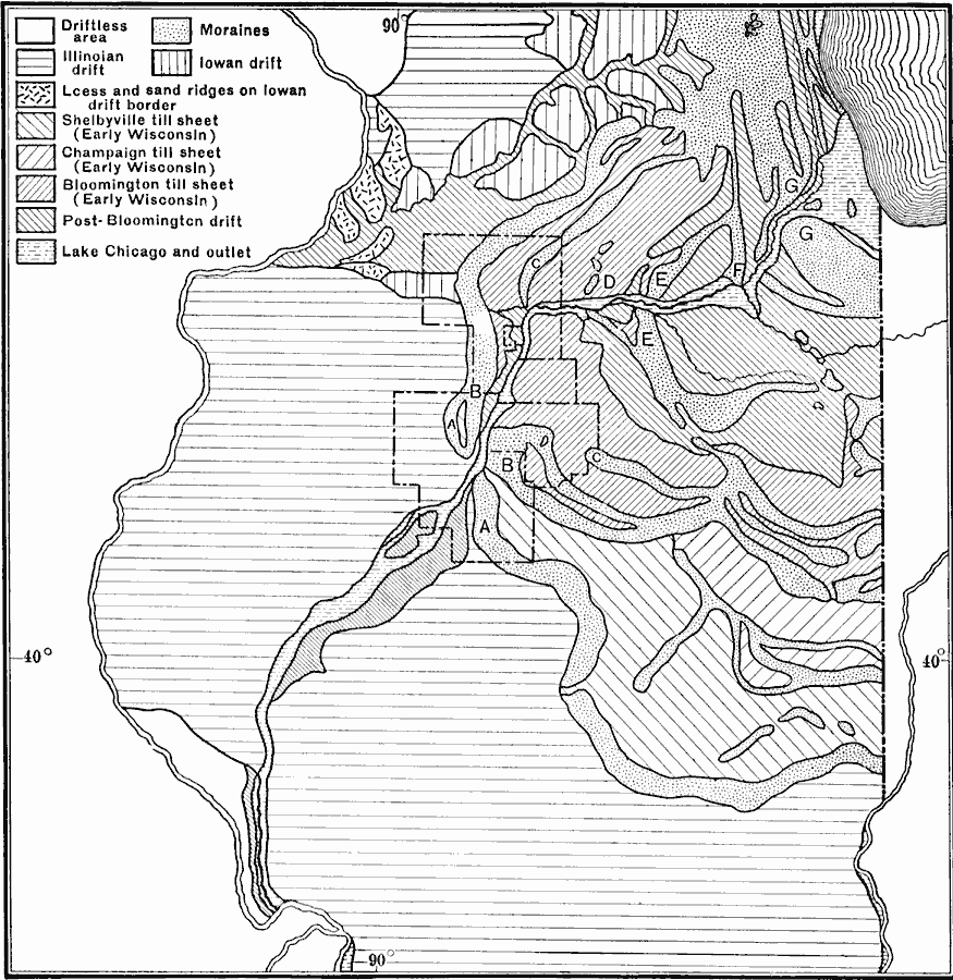
Description: A map from 1911 of the glacial remnants in northern Illinois, showing areas of moraine deposits, driftless areas to the east, Illinoian drift, lowland drift, till sheets, and the proglacial Lake Chicago outlet.
Place Names: Illinois,
ISO Topic Categories: boundaries,
geoscientificInformation,
location
Keywords: Generalized Glacial Map of Northern Illinois, physical, �glacial map, kGlacial, physical features,
topographical, boundaries,
geoscientificInformation,
location, Unknown, Ice Age
Source: Isaiah Bowman, Ph. D, Forest Physiography (New York, NY: John Wiley and Sons, 1911) 472
Map Credit: Courtesy the private collection of Roy Winkelman |
|