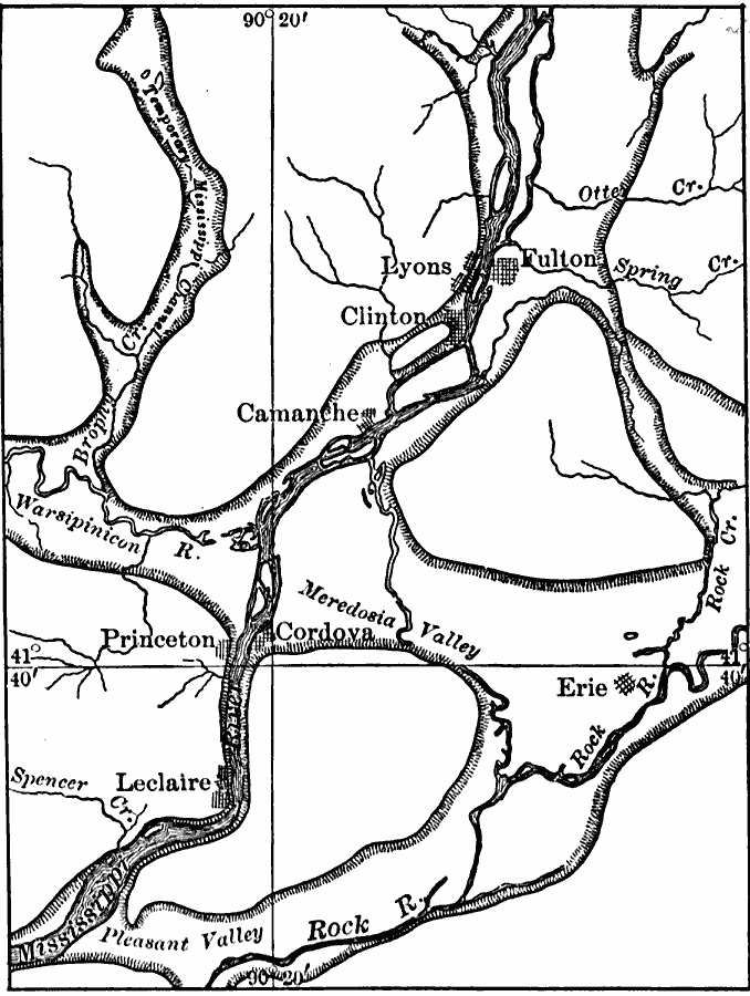
Description: A map from 1911 showing the old and new channels of the Mississippi at the upper rapids, near Fulton, Illinois. The map shows bluffs and river valleys indicating past river channels.
Place Names: Illinois, Clinton, �Lyons, �Fulton, �Princeton, �Cordov
ISO Topic Categories: boundaries,
inlandWaters,
location,
geoscientificInformation
Keywords: The Upper Mississippi River, physical, physical features, boundaries,
inlandWaters,
location,
geoscientificInformation, Unknown, 1911
Source: Isaiah Bowman, Ph. D, Forest Physiography (New York, NY: John Wiley and Sons, 1911) 475
Map Credit: Courtesy the private collection of Roy Winkelman |
|