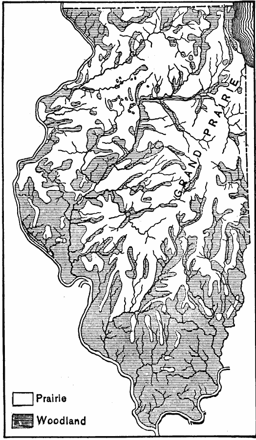
Description: A map from 1911 of Illinois showing the Grand Prairie and the pre–European extent of the woodlands in the area. The map is keyed to show areas of prairie and areas of woodlands, and shows major rivers.
Place Names: Illinois,
ISO Topic Categories: inlandWaters,
location,
biota
Keywords: Prairie and Woodland in Illinois, physical, �statistical, physical features, vegetation, inlandWaters,
location,
biota, Unknown, 1911
Source: Isaiah Bowman, Ph. D, Forest Physiography (New York, NY: John Wiley and Sons, 1911) 490
Map Credit: Courtesy the private collection of Roy Winkelman |
|