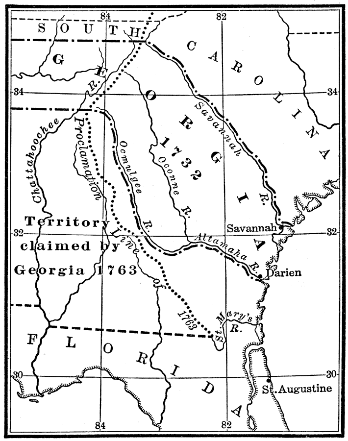
Description: A map of Colonial Georgia, showing the proclamation line of the original United States established at the end of the American Revolutionary War in 1763, the boundary when Georgia was established from the Carolinas as a buffer between the United States and Spanish Florida as lands between the Savannah and Altamaha rivers in 1732, and the territory claimed by Georgia in 1763. Many Germans of that time emigrated to Georgia, which drew oppressed Protestants from many European countries.
Place Names: Early America 1400-1800, Georgia, �Savannah, �Colonial America, �Englis
ISO Topic Categories: location,
inlandWaters,
oceans,
boundaries
Keywords: Colonial Georgia, discovery, �historical, �location, �physical, �political, physical features, major political subdivisions, historical event, location,
inlandWaters,
oceans,
boundaries, Unknown, 1732–1763
Source: Nathaniel Wright Stephenson, An American History (Boston, MA: Ginn and Company, 1913) 133
Map Credit: Courtesy the private collection of Roy Winkelman |
|