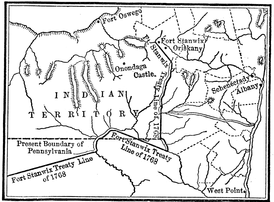
Description: A map of the Finger Lakes region of Upstate New York showing the Iroquois Six Nations lands as established by the Fort Stanwix treaty of 1768. The map show the expansion of English colonial settlers into the upper Hudson River Valley area, including the building of forts and the settlements of Albany, Schenectady, and Oriskany.
Place Names: Early America 1400-1800, Albany, �Fort Oswego, �Fort Stanwix, �New York, �Onondaga, �Pennsylvania, �Schenectady, ��Native Americans, �Colonial Americ
ISO Topic Categories: location,
inlandWaters,
oceans,
boundaries
Keywords: The Iroquois Country, discovery, �historical, �location, �physical, �political, kNativeAmerican, physical features, major political subdivisions, historical event, location,
inlandWaters,
oceans,
boundaries, Unknown, 1768
Source: Nathaniel Wright Stephenson, An American History (Boston, MA: Ginn and Company, 1913) 139
Map Credit: Courtesy the private collection of Roy Winkelman |
|