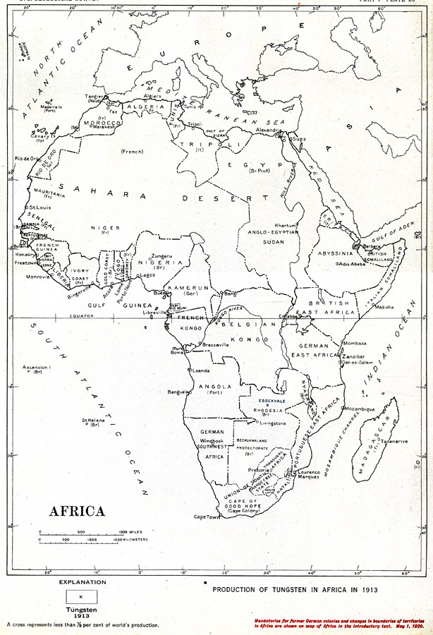
Description: "Production of Tungsten in Africa in 1913... A cross represents less than 1/2 per cent of world's production...Mandatories for former German colonies and changes in boundaries of territories in Africa are shown on map of Africa in the introductory text. May 1, 1920." — Department of the Interior, 1921
Place Names: A Complete Map of Africa, Algeria, �Congo, �Egypt, �Madagascar, �Nigeria, �South Africa, �Sudan, �Abyssinia, �Rhodesia, �Tunis, �Eritrea, �Tripoli,
ISO Topic Categories: boundaries,
economy,
inlandWaters,
oceans
Keywords: Production of Tungsten in Africa, physical, �political, �statistical, physical features,
geological, country borders, industry,
economic, boundaries,
economy,
inlandWaters,
oceans, Unknown, 1913
Source: Department of the Interior , World Atlas of Commercial Geology (Washington, DC: Department of the Interior , 1921) Plate 28
Map Credit: Courtesy the private collection of Roy Winkelman |
|