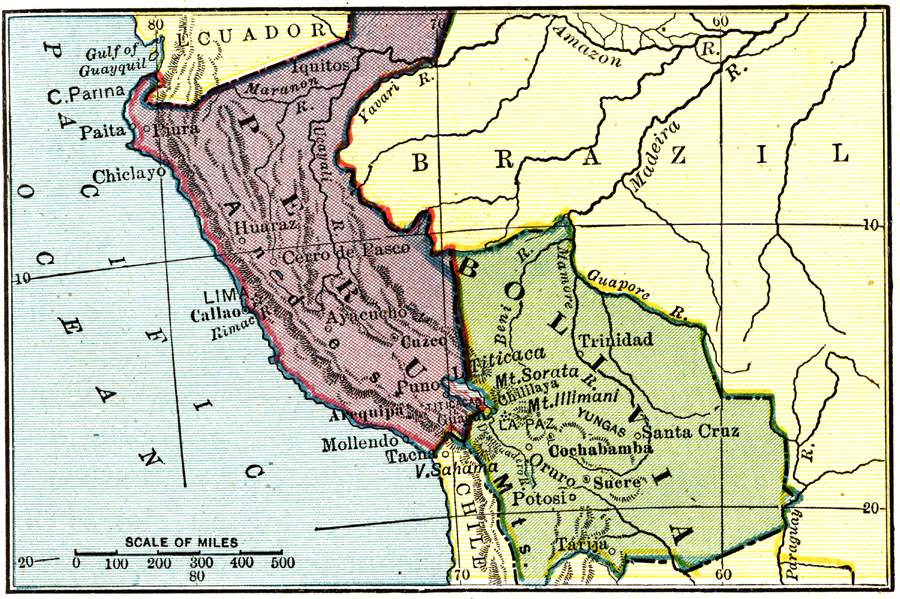
Description: Map of Peru and Bolivia showing boundaries current to 1915, major cities, rivers, Lake Titicaca, and the Andes mountain chain.
Place Names: Peru, Iquitos, �Lima, �Paita, �Chiclayo, �Cusco, �Bolivia, �La Paz, �Potosi, �Cochabamba, �Lake Titicac
ISO Topic Categories: boundaries,
inlandWaters,
oceans
Keywords: Peru and Bolivia, physical, �political, physical features,
topographical, country borders, boundaries,
inlandWaters,
oceans, Unknown, 1915
Source: Frank G. Carpenter, Carpenter's Geographical Reader: South America (New York, NY: American Book Company, 1915) 73
Map Credit: Courtesy the private collection of Roy Winkelman |
|