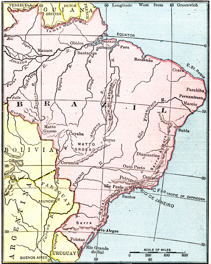
Description: Map of Venezuela, and the former colonies of British Guiana (Guyana), Dutch Guiana (Suriname), and the current départements d'outre–mer French Guiana showing boundaries current to 1915, major cities, the Orinoco River, and Lake Maracaibo.
Place Names: A Regional Map of South America, Venezuela, �British Guiana, �Dutch Guiana, �French Guiana, �Caracas, �Georgetown, �Paramaribo, �Cayenne, �Orinoco River,
ISO Topic Categories: boundaries,
inlandWaters,
oceans
Keywords: Venezuela and the Guianas, physical, �political, physical features,
topographical, country borders, boundaries,
inlandWaters,
oceans, Unknown, 1915
Source: Frank G. Carpenter, Carpenter's Geographical Reader: South America (New York, NY: American Book Company, 1915) 343
Map Credit: Courtesy the private collection of Roy Winkelman |
|