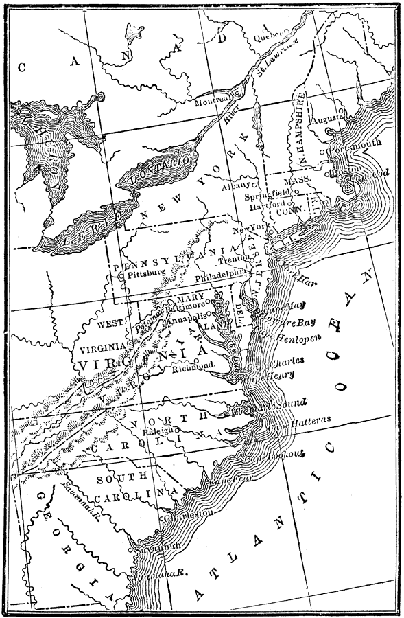
Description: A map of the thirteen colonies at the outset of the American Revolutionary War, showing major cities and towns, the Great Lakes, mountains, rivers, and coastline.
Place Names: Early America 1400-1800, Boston, �New York, �Savannah, Raleigh, �Richmond, �Baltimore, �Philadelphia, �Trenton, �Hartford, �Augusta, ��Colonial America, �American Revolutio
ISO Topic Categories: boundaries,
inlandWaters,
society
Keywords: The Thirteen Colonies , physical, �political, �historical, physical features, country borders,
major political subdivisions, American Revolution, boundaries,
inlandWaters,
society, Unknown, 1776
Source: W. H. DePuy, People's Cyclopedia of Universal Knowledge: V.2 (New York, NY: Phillips & Hunt, 1881) 1487
Map Credit: Courtesy the private collection of Roy Winkelman |
|